Ukraine Now has the High Ground with New Czech Satellite
Start with one, scale to several, and blend the feeds into a unified platform.
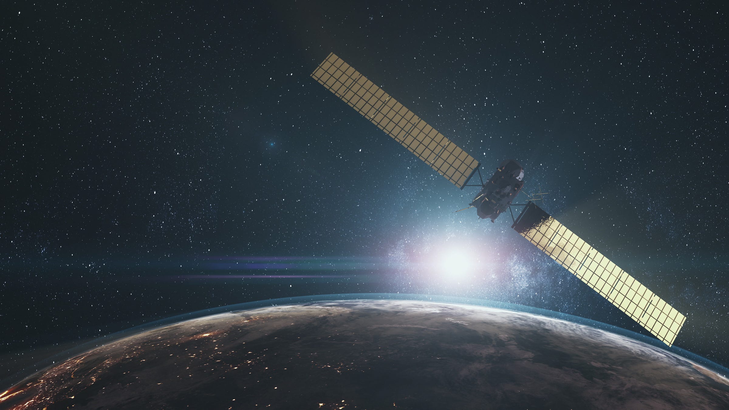
The Czech Republic is preparing to hand Ukraine a modern military-grade Earth observation satellite.
Not a rented data package, not a one-off tasking window, an actual satellite program built to give Kyiv persistent eyes from space in all weather, day or night.
Prague says this satellite project will launch in the coming months, with the satellite expected on orbit within a year.
The Czech Ministry of Foreign Affairs calls it proof of Czech technological depth and a very public act of solidarity with Ukraine. The Ministry of Transport adds that this could grow into a wider constellation, which is a polite Czech way of saying, “today one bird, tomorrow a flock.”
The architecture matters. A single bird gives daily access and rapid re-task if you plan it well, but a mini-constellation turns that access into persistence.
Start with one, scale to several, and blend the feeds into a unified platform that Ukrainian commanders can query from the brigade TOC (Tactical Operations Center) without calling three foreign help desks.
The satellite will carry a combined surveillance payload, synthetic aperture radar for all-weather imaging, electro-optical sensors for sharp daytime and clear-sky shots, radiation detection to flag nasty industrial signatures, and radio frequency monitoring to map emitters.
That cocktail means you do not care if the battlefield is under cloud, under smoke, or under Russian electronic warfare; you still get a usable picture, you still find the launchers and depots, you still cue the strike package.
If you are an artillery officer near Kupiansk, this is the part where you start labeling your ammo boxes “from Prague with love.”
Leading Czech firms with flight heritage are on the build. Their hardware has already flown on international missions. The satellite’s synthetic aperture radar lets Ukraine see through cloud and darkness, the electro-optical telescope gives fine detail when the weather cooperates, the RF payload can geolocate transmitters like air defense radars and long-range drone control nodes, and the radiation detector can flag chemical or explosive processes.
Since the first days of the invasion, Ukraine has been a master of coalition data. Commercial providers and friendly governments have supplied imagery and analysis.
It works, but sometimes it is a relay race.
You submit a task, you wait for a pass, you get a product, and the enemy has already moved the fuel trucks and painted the roof green.
A sovereign satellite, even a small one, changes the geometry. You set the tasking, you own the priority, you fuse the output into your own kill chain without a diplomatic middle step. Ukraine is establishing a Space Policy Directorate for this exact purpose.
And there’s a second order effect.
Sovereign access is not just faster, it is safer. If a provider somewhere gets cold feet about certain targets, Ukraine’s own satellite still flies. That removes political friction, it removes export license roulette, and it removes time.
In this war, time is a more valuable commodity than JP-8.
Let us talk kill chains, because that is where space earns its paycheck.
A satellite pass takes a radar image of a suspected ammo rail yard near Bryansk. The RF payload tags increased radio chatter from a nearby Russian air defense radar. Hours later an electro-optical pass finds fresh track marks and new pallets.
The fusion platform flags a confidence score and pushes an alert to a strike desk inside Ukraine.
The desk picks a window.
Drones launch to soak up point defenses, fighters threaten any radar that lights up, and a pair of Storm Shadows head for the correct building, not just the postal code.
That is modern targeting, and it starts with persistent space sensing married to a national decision loop.
Even on the purely defensive side, a weather-agnostic radar satellite tracks blast scars on runways and burn marks on SAM sites. You can confirm last night’s battle damage, re-task mobile batteries to exploit gaps, and shift air routes around the fresh holes.
Nothing magical, just relentless situational awareness. If that sounds a lot like having the high ground, it is, only the hilltop is 500 kilometers up.
Space is not new to Ukraine; the difference now is control
Ukraine has been resourceful about space access since day one.
A quick roundup, because context matters.
In 2022 Ukrainians famously crowdfunded access to a Finnish SAR satellite, ICEYE, buying a dedicated tasking share and priority time that has paid for itself many times over.
Ukrainian agencies and analysts have worked with commercial imagery from Planet, Maxar (now known as Vantor), BlackSky, and others, the stuff you see in media but also the stuff you do not.
There has been ongoing cooperation with European partners for Copernicus data and with friendly governments for classified analysis. On top of that, Ukraine and France announced an alliance to build a small Earth observation constellation with Prométhée Earth Intelligence and Ukrainian tech companies. It’s a plan that envisions a high refresh cadence and a sovereign digital platform.
That is a medium-term industrial play, and it is smart.
Add to that a communications pillar. SpaceX Starshield has kept command posts and drones online when fiber got cratered, and European partners have layered in additional satcom as a hedge.
None of that is Earth observation, but it is the nervous system that moves the pictures to the shooters.
There are also Japanese interest and European industrial courtships. Japanese and European NewSpace firms have explored commercial SAR and optical partnerships for Ukraine’s reconstruction and security needs, discussions that make more sense once Kyiv can blend external feeds with its own sovereign tasking.
The more pipes you have into the same data lake, the clearer the water.
The Czech satellite is the next phase. It moves Ukraine from consumer to co-owner; from ad hoc to planned; from “Can you please image this box?” to “We will be over the box at 1412 Zulu, plan accordingly.”
Synthetic aperture radar is the workhorse when the sky does not cooperate. It can measure tiny changes in the ground, detect vehicles in camo nets, see through smoke, and it laughs at clouds. It cannot tell you paint color, but it can tell you mass and motion, which is what artillery officers care about.
Electro-optical is the detective; it confirms what SAR suspects, it reads roof geometry, it spots fresh dirt on a revetment, and it tells your planner where the weak seam is.
Radio frequency monitoring is the tattletale; it says there is a control link here, a search radar there, and a cluster of handhelds chattering after midnight over in that grove.
Radiation detection is the canary; it sings when propellant processes spike or when something ugly leaks.
Fused together, they let you pick aim points with confidence and prosecute targets with fewer missiles and fewer repeats. Efficiency is how you win an industrial war.
Let’s use an artillery example.
Artillery is a math problem.
You need guns, you need shells, you need targets, and you need time. If the target arrives late or the picture is stale, you waste shells and expose your gun crews for nothing.
Space shortens the loop. Shorter loops raise your operational tempo, and higher tempo lets you dictate when battles happen.
Dictate enough of those, and you start dictating where they happen. This is how a defensive war turns into a war of positional advantage.
You do not just hold, you make the other side react.
There is another quiet benefit: The more Ukraine can task its own satellite, the less it needs to publicize requests to partners. Fewer requests mean fewer clues for Russian intel about what Kyiv cares about on a given day.
Operational security (OPSEC) gets a small but meaningful boost.
Satellites do not win wars alone, but they make winning possible
Let’s not pretend space is a cheat code.
Satellites do not smash ammo dumps by themselves. They cue the missiles, they warn the power plants, they confirm the rail choke points, and they keep score.
The smashing still requires Ukrainian pilots to fly toward bad things and Ukrainian gunners to roll their pieces forward under counter-battery fire.
Space makes those risks smarter and less wasteful. In a war where both sides are rationing 155-millimeter shells and hunting each other’s logistics, that is the difference between holding and being pushed.
If you are looking for the headline version, here it is. The Czech Republic is handing Ukraine a satellite designed to see in all weather, day and night, across multiple sensing domains. It is the first European country to do so for Ukraine, it is planning to scale, and it plugs directly into the way Ukraine fights.
More importantly, it accelerates a trend.
Ukraine is moving from borrowed eyes to owned eyes; from occasional access to persistent access; from dependence to sovereignty.
Pair that with the alliances and partnerships already in motion like a French backed constellation plan with Prométhée, long running commercial SAR access like ICEYE, and the steady stream of allied imagery and analysis, and you get a simple battlefield truth: Ukraine now has the high ground.
Thanks for reading, friends.
Слава Україні!


Interesting move. But one year before operation remains quite a long time, no? Lots of things may happen and derail this satellite “mise en oeuvre”. Touch wood. Thanks!
Holy shit what an incredible development.